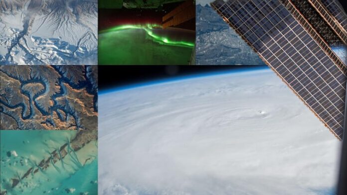
Earth In 2024: The International Space Station (ISS) has captured more than 825,000 images of Earth so far in 2024, documenting our planet’s changing landscapes. NASA has shared that over 5.3 million photos have been taken from the space station since it began operations, contributing significantly to studies of urban light patterns, lightning activity, and natural disasters. In 2024 alone, these images were instrumental in analysing 14 major natural disaster events, from hurricanes and floods to volcanic eruptions.
Expedition 71, one of the most prolific missions in the ISS’s history, contributed over 630,000 images, marking the highest number of photographs taken during a single mission.
According to NASA, the Crew Earth Observations (CEO) program is at the heart of this effort. Equipped with digital handheld cameras, astronauts photograph Earth from their vantage point 200 miles above the surface. The program focuses on documenting both human-induced changes — such as urban expansion and reservoir construction — and natural phenomena, including hurricanes and wildfires.
A key aspect of CEO’s mission is to provide real-time support for disaster response. The program works closely with the International Disaster Charter (IDC) through the US Geological Survey to deliver timely imagery that aids in disaster mitigation and recovery efforts. These photographs are more than snapshots; they are critical data for scientists, policymakers, and emergency response teams.
The tradition of photographing Earth from space dates back to the early Mercury missions of the 1960s. The ISS crew builds on this legacy, contributing to an unbroken “time series” of Earth imagery that helps track the planet’s evolution. Almost half of all Earth photographs from NASA’s human spaceflight missions have been taken aboard the ISS.
10 Best Earth Images Captured From Space In 2024
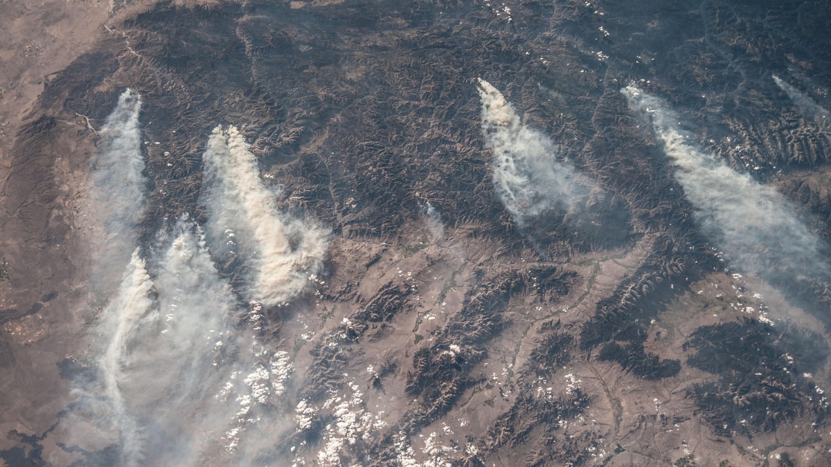
1. Idaho Wildfires
2. Cancún’s Contrasts

3. Moonlit Mediterranean

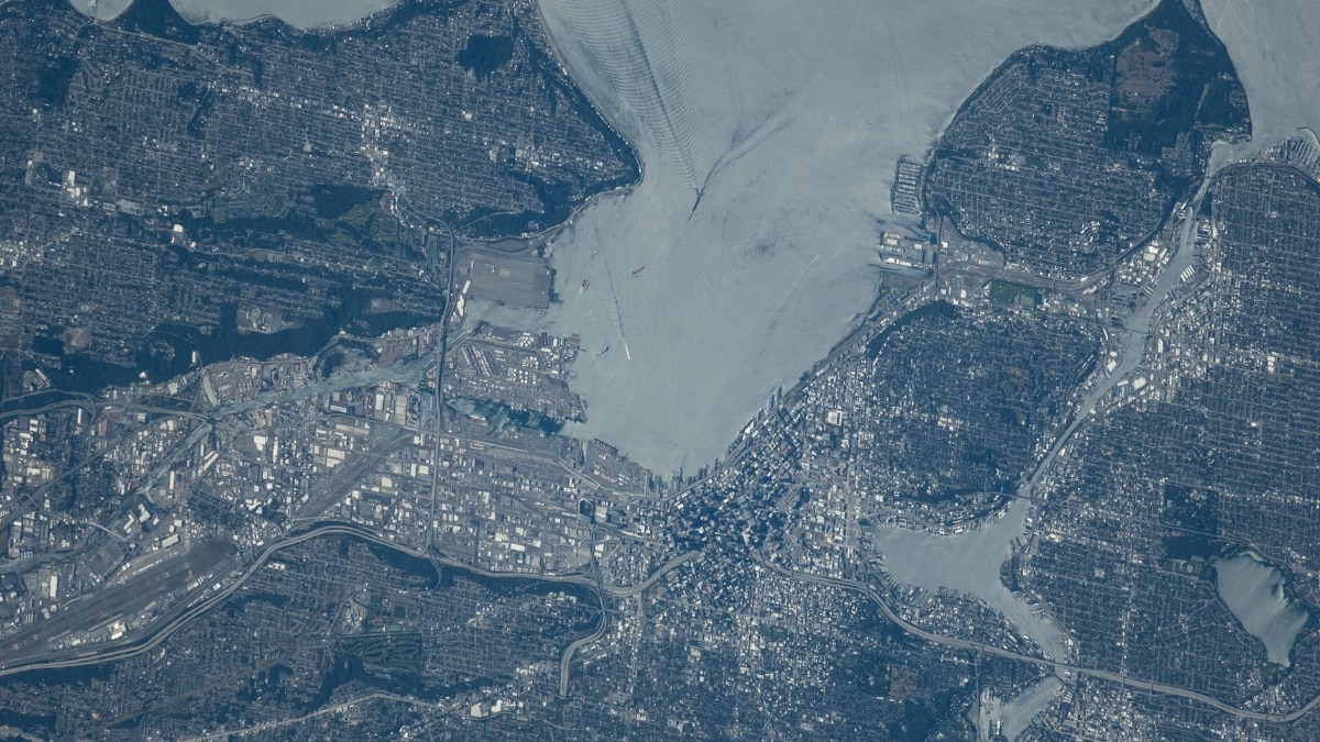
4. Puget Sound Reflections
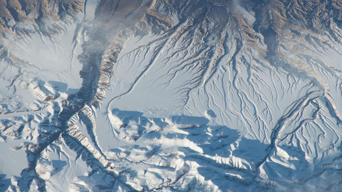
5. The Himalayas From Space
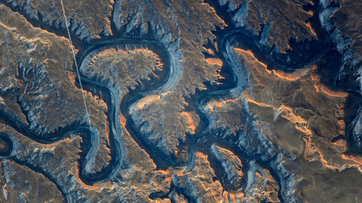
6. Bowknot Bend
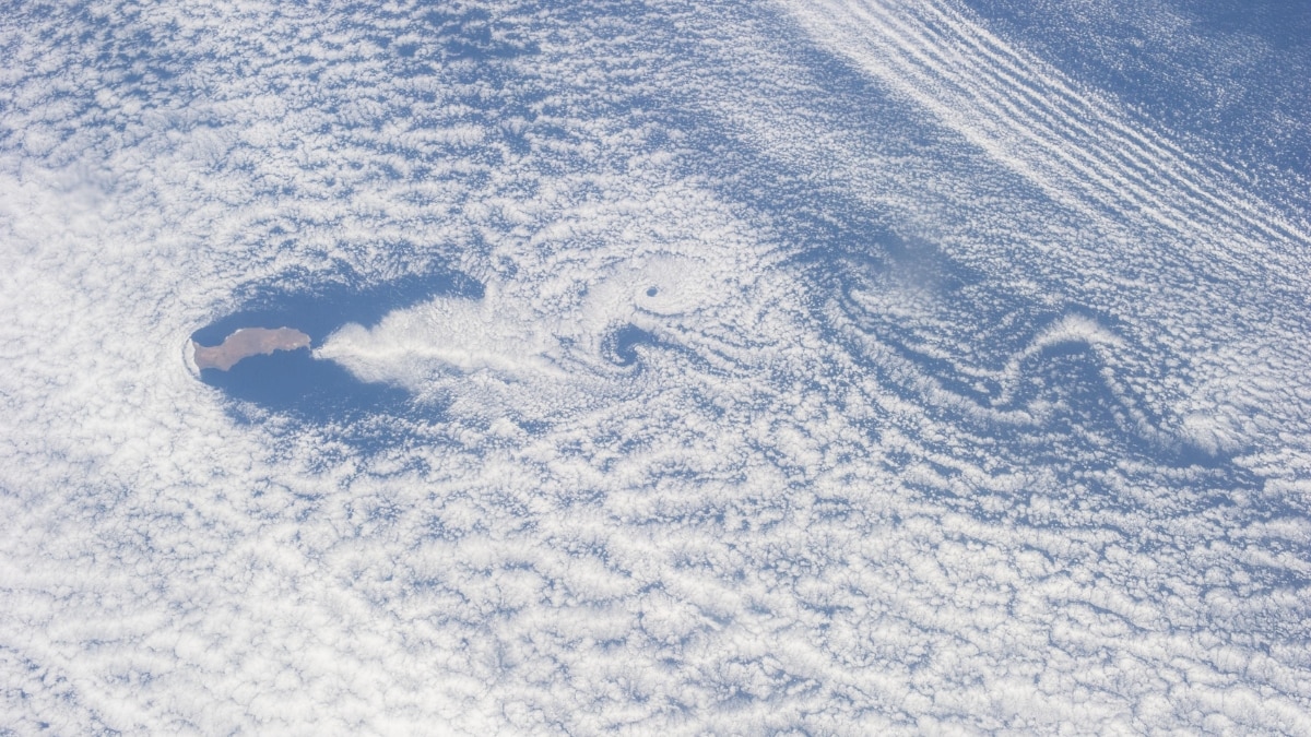
7. Guadalupe Island’s Cloud Swirls
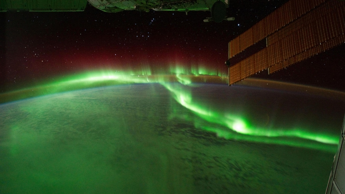
8. Aurora Australis
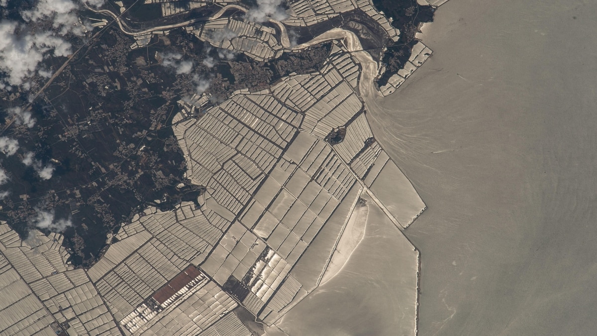
9. China’s Coastal Fish Farms
10. Bahamas’ Aqua Cays


